Building date: 1834, razed 1910 to build Second Reformed Church
Original use: Blacksmith shop until 1903, then Cooperage until 1910.
Corner structures:
Mortar application and content:
Types and uses of stones:
Types and choice of windows:
Structures with similar masonry details:
Masons who worked on building: James Harvey Curtis
Unique features:
Map views courtesy Google Maps. Address is Google Earth confirmed; 43°08'26.81"N 77°11'21.84"W.
Town of Marion and Wayne County Maps
Curtis Blacksmith Shop history sheet. From the personal research of cobblestone historian Karen Crandall.
 1858 Wayne County Map Mar-26 Excerpt.jpg ¹ | 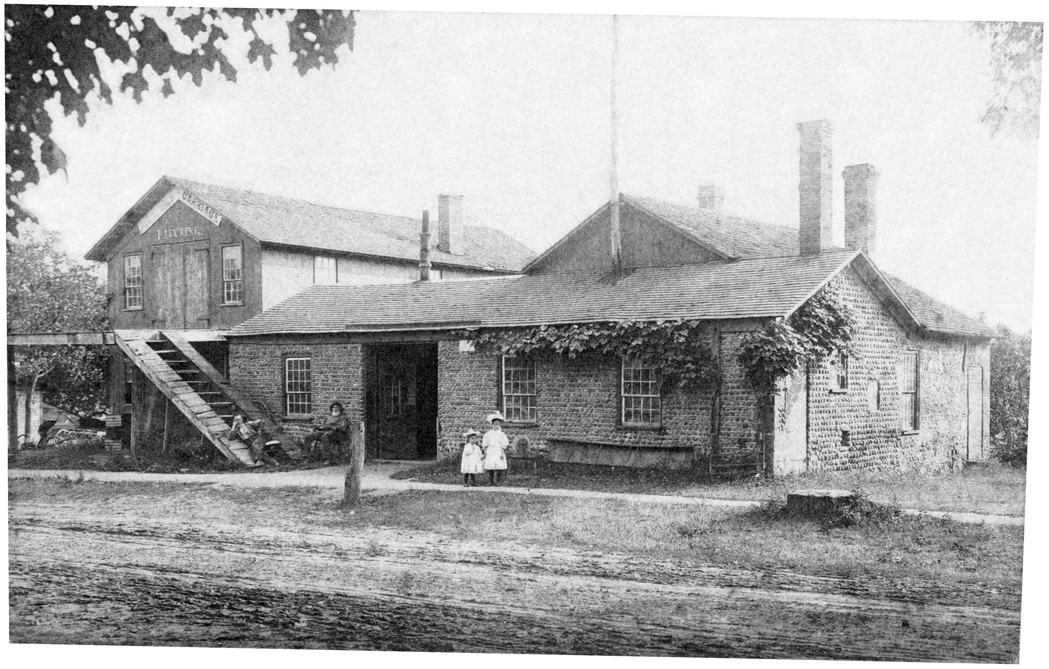 Curtis BSS, 3757 Mill St_in use as BSS.jpg ² |  Curtis BSS, 3757 Mill St_in use as cooperage.jpg ² |
¹ 1858 Wayne County Map Mar-26 Excerpt courtesy Library of Congress.
² Image courtesy Carolyn Adriaansen, former Marion Historian, provided by Karen Crandall.
